Glenorchy is home to a diverse network of parks, reserves, playgrounds and open spaces that provide opportunities for recreation, relaxation, sport and community connection.
From local neighbourhood parks to large natural reserves and waterfront destinations, Glenorchy’s open spaces support healthy and active lifestyles while helping protect the municipality’s natural environment.
Parks and reserves
Council manages a wide range of parks and recreational spaces across the municipality to meet the needs of residents and visitors of all ages.
These spaces include:
- Local neighbourhood parks and playgrounds
- Sporting grounds and recreation areas
- Picnic and barbecue facilities
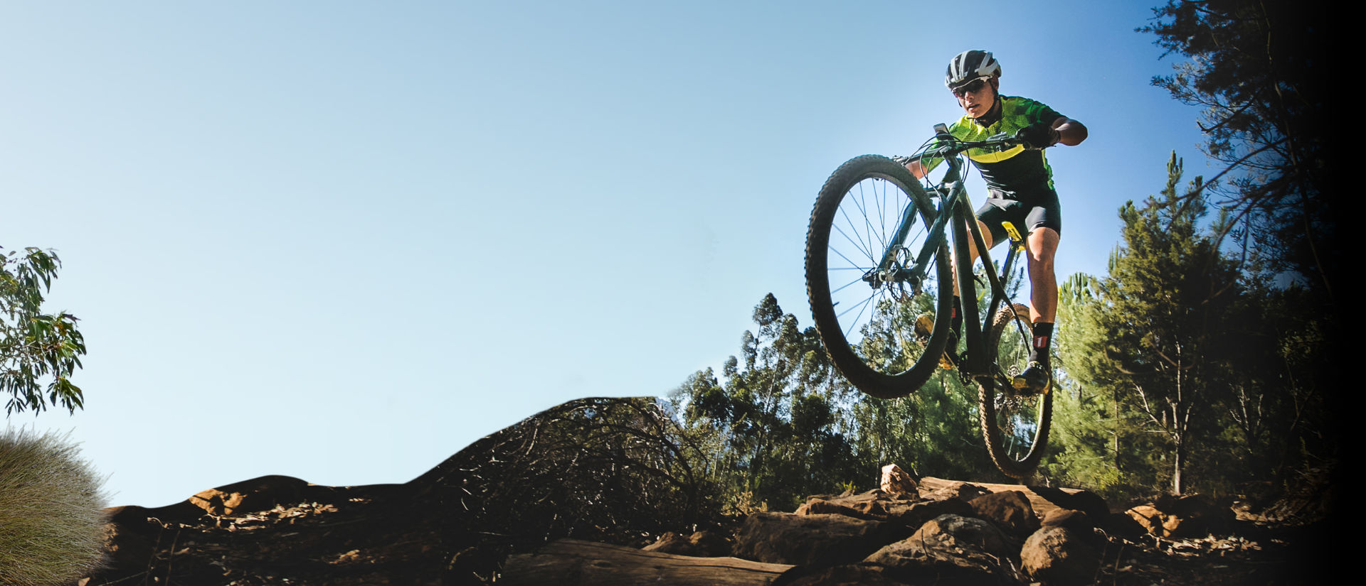
- Walking and cycling paths
- Bushland reserves and natural areas
- Waterfront open spaces
- Community gathering spaces and event areas
Whether you are looking for a place to exercise, spend time with family, enjoy nature or participate in community activities, there are parks and open spaces located throughout Glenorchy.
[Full list of parks and facilities maintained on the live website with the Discover Glenorchy mapping tool]
Bushland and foreshore reserves
Glenorchy includes significant areas of bushland and Derwent River foreshore reserve that provide important environmental and recreational benefits.
These natural areas support biodiversity, protect native habitat and offer opportunities for walking, birdwatching, cycling and enjoying the outdoors.
Council works to manage and protect these reserves through conservation, maintenance and environmental restoration programs.
Looking for a track for a walk or bike ride?
Check Greater Hobart Trails has for in-depth breakdowns of routes, track difficulty and more.
Some of our highlights are:
Humpherys Rivulet
Winding from the slopes of kunanyi/Mount Wellington down through the urban heart of Glenorchy, Humphreys Rivulet is both a natural feature and a flood risk for parts of the CBD. Plans are underway to rehabilitate the rivulet and create a shared walking and cycling path along its course — offering a greener, safer alternative to busy Tolosa Street.
View the full project here.
Wellington Park
Covering over 4,000 hectares and making up around a third of the municipality, Wellington Park dominates Glenorchy’s skyline. The Glenorchy side is quieter and less visited than the Hobart side, with access via the Glenorchy Mountain Bike Park at the end of Tolosa Street. Fire trails extend from there to Mt. Arthur, Tom Thumb, and beyond — rewarding walkers with spectacular views. Dogs on leads of up to 2 metres are welcome in designated areas.
See the interactive dog walking map for details.
N.R. Pierce Reserve
Donated to the Glenorchy community by the Pierce family in 1988, this 449-hectare bushland reserve sits behind Berriedale and Montrose, bordering Wellington Park.
It supports a wide variety of vegetation and native wildlife including bettongs, bandicoots, Tasmanian devils, and wallabies. Access is via the Zig Zag Track off Collinsvale Road.
Poimena Reserve
Perched atop a hill in Austins Ferry, this 29-hectare reserve offers panoramic views of the Derwent River and kunanyi/Mount Wellington.
Walking trails wind through native woodland, and the reserve is home to over 70 bird species, several rare beetles, and southern Tasmania’s only disc golf course. BBQ facilities are available. Access via Wakehurst Road.
Gould’s Lagoon
Designated a wildlife sanctuary in 1938, Gould’s Lagoon in Granton is a haven for waterbirds — ideal for resting, feeding, and breeding.
A boardwalk leads to a viewing platform over the water, making it a great birdwatching spot. Car park off Hestercombe Road.
Jim Bacon Memorial Reserve
Located in West Moonah, this reserve combines open parkland with a rare 2-hectare patch of black gum forest.
Several rare plants grow here, including the distinctive Blue Devil herb, and the reserve provides habitat for threatened species such as the Swift Parrot. Access from Devines Road, Thornleigh Street, and Hudson Crescent.
Amy Street Community Park
A quiet 5-hectare bushland reserve at the top of Amy Street in West Moonah, featuring native grassland, white gums, peppermints, and she-oak forest. Elevated position provides great views to the east and north. Multiple access points across Moonah and West Moonah.
Lutana Woodlands Reserve
One of the city’s best vantage points, with sweeping views over Glenorchy and the Wellington Range. The reserve supports over 40 native plant species across remnant grassland, and has been the focus of community restoration works in recent years. Popular with dog walkers. Car park off Bowen Road, with additional access from Lennox Street.
Windermere–Berriedale Foreshore
A varied and scenic walking trail linking several foreshore reserves from Claremont to Berriedale, passing saltmarsh, open parkland, sheltered bays, and she-oak bush tracks. The trail connects Cadbury to MONA and holds significant Aboriginal heritage importance.
Elwick Bay Foreshore — GASP!
The Glenorchy Art and Sculpture Park (GASP!) stretches along Elwick Bay from Montrose Foreshore Community Park to Wilkinsons Point.
A sealed path and boardwalk guide visitors past regenerating dunes, tidal wetlands, saltmarsh, sculptures, and art installations — with great birdwatching and scenic views along the way.
Finding parks near you
Residents and visitors can use the Discover Glenorchy mapping tool to locate parks, playgrounds, barbecue facilities, walking tracks and open spaces throughout the municipality.
The mapping tool provides information about park features and nearby facilities to help you plan your visit.
Contact
For more information about parks, reserves and open spaces, please contact us:
Phone: 03 6216 6800
Email: gccmail@gcc.tas.gov.au
Unsure what something on this page means? Check out Our Glossary.