Glenorchy is one of Tasmania’s largest and most diverse municipalities, offering a mix of urban centres, residential communities, business precincts and natural landscapes.
Located within Greater Hobart, the city plays an important role in the region’s economy, community life and future growth.
Population
Glenorchy has a population of approximately 50,000 people, making it one of the largest local government areas in Tasmania.
The municipality continues to grow and evolve, with a diverse community that includes families, young people, older residents and people from a wide range of cultural backgrounds.
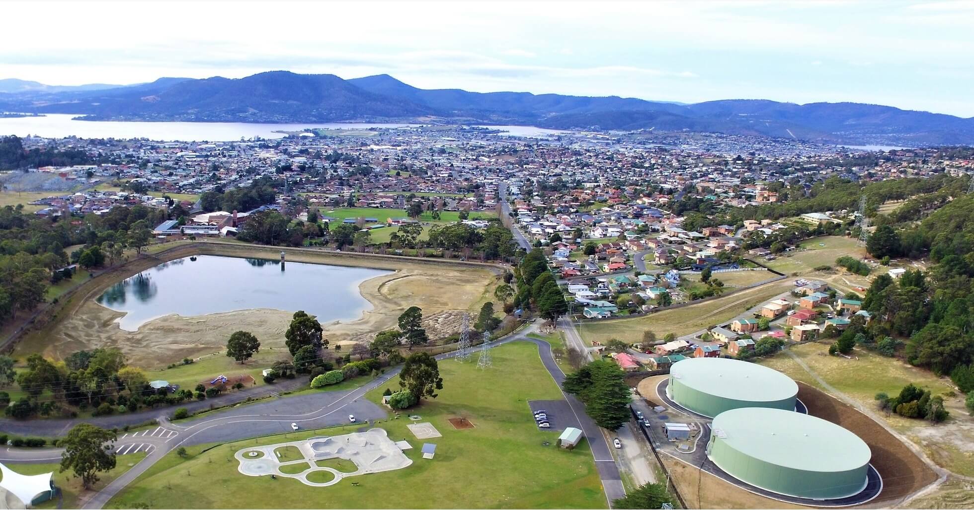
Area
The Glenorchy municipality covers approximately 121 square kilometres.
The area stretches from the Derwent River waterfront in the east to bushland and semi-rural areas in the west, incorporating a variety of residential, commercial, industrial and recreational environments.
Cultural diversity
Glenorchy is recognised as one of Tasmania’s most culturally diverse communities.
Residents come from more than 100 countries of origin, contributing to a vibrant multicultural community reflected in local businesses, food, festivals, community organisations and everyday life across the municipality.
Moonah is particularly known for its multicultural character and diverse business community.
Economy
Glenorchy has a strong and diverse local economy supported by industries including:
- Manufacturing
- Retail and trade services
- Health and community services
- Construction
- Education and training
- Professional and business services
The city continues to attract investment and development, supporting local jobs and economic growth across Greater Hobart.
Housing
Glenorchy offers a broad range of housing options to suit different lifestyles and household needs.
Housing types across the municipality include inner-urban apartments, established suburban homes, newer residential developments and larger semi-rural properties.
Compared with some other areas of Greater Hobart, Glenorchy continues to provide relatively affordable housing opportunities for residents and families.
Lifestyle and Location
Glenorchy offers convenient access to Hobart while also providing extensive recreational opportunities, community facilities and open spaces.
Residents enjoy access to sporting facilities, parks, walking trails, bushland reserves, shopping precincts and community services throughout the municipality.
More information
Additional demographic, social and economic information about Glenorchy is available through:
Detailed reports and community data can also assist residents, businesses and organisations in understanding the Glenorchy municipality and its future growth trends.
Unsure what something on this page means? Check out Our Glossary.