Information about flooding and stormwater in Glenorchy, and what to do if your property is affected.
Responsibilities
Stormwater management in Glenorchy is a shared responsibility:
- Council maintains public stormwater drains and drainage infrastructure in streets and public land
- Property owners are responsible for managing stormwater on their own land and connecting to the Council system
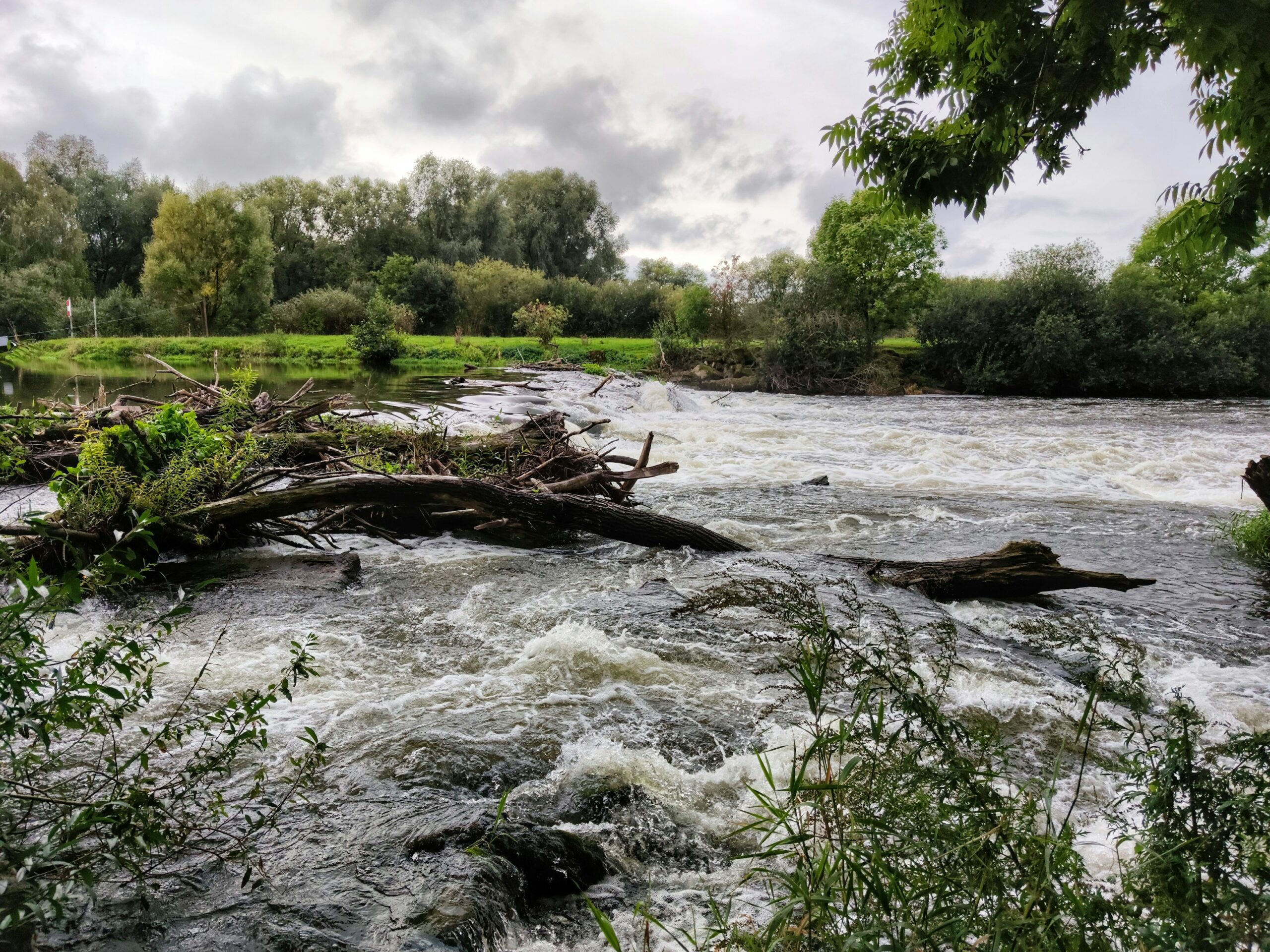
Flood risk
Some areas of Glenorchy are in flood risk zones. Before building or developing land in a flood risk area, check the planning scheme and talk to our Planning team.
Flood risk information is available through the Glenorchy Discover spatial data mapping tool.
Stormwater connection
If you are building or renovating, you may need to connect to Council’s stormwater system. Contact our works team for information about connections.
Reporting a problem
If you see a blocked or damaged stormwater drain, or flooding on public land, report it to Council.
Phone: 03 6216 6800 Email: council@gcc.tas.gov.au
Online: gcc.tas.gov.au/services/works/report-a-problem
In an emergency
If flooding threatens your home or property and you need help, call the State Emergency Service on 132 500.
Unsure what something on this page means? Check out Our Glossary.