Glenorchy City Council plays an active role in reducing and managing bushfire risk across Council-managed land and facilities.
State and regional framework
Vegetation fire management across Tasmania is guided by the State Fire Management Council (SFMC) and its Tasmanian Vegetation Fire Management Policy.
At a regional level, Council is a member of the Hobart Fire Management Area Committee (HFMAC), which coordinates bushfire risk management across the Greater Hobart area (approximately 110,000 ha). The Committee’s Bushfire Risk Management Plan shapes how Council approaches mitigation locally.
Council’s approach
Council’s bushfire mitigation program began in 2017 and is now guided by the Bushfire Mitigation Strategy 2020–2030. This strategy takes a risk-based approach to managing bushfire-prone vegetation on Council land, helping to protect life and property by assessing current practices and identifying where improvement is needed.
Council also has a Bushfire Mitigation Policy that supports this work.
What we do?
Bushfire risk management is an important part of protecting people, property, infrastructure and the natural environment. Council works with emergency services, land managers and the community to identify bushfire-prone areas and undertake mitigation activities that help reduce the risk and impact of bushfires.
Our responsibilities
Council is responsible for managing bushfire risk on land and assets under its care and control, including:
- Council-owned parks and reserves
- Road reserves and nature strips in bushfire-prone areas
- Council buildings and facilities located in bushfire-prone areas
- Selected areas of public open space and bushland
Council’s role focuses on managing vegetation and fuel loads on Council-managed land to help reduce the intensity and spread of bushfires where practicable.
Working with emergency services
Council works closely with the Tasmania Fire Service and other agencies to:
- Identify areas of higher bushfire risk
- Plan and prioritise mitigation activities
- Coordinate fuel reduction programs
- Support emergency preparedness and response planning
- Share information with the community
Bushfire management activities are guided by risk assessments, environmental considerations and operational conditions.
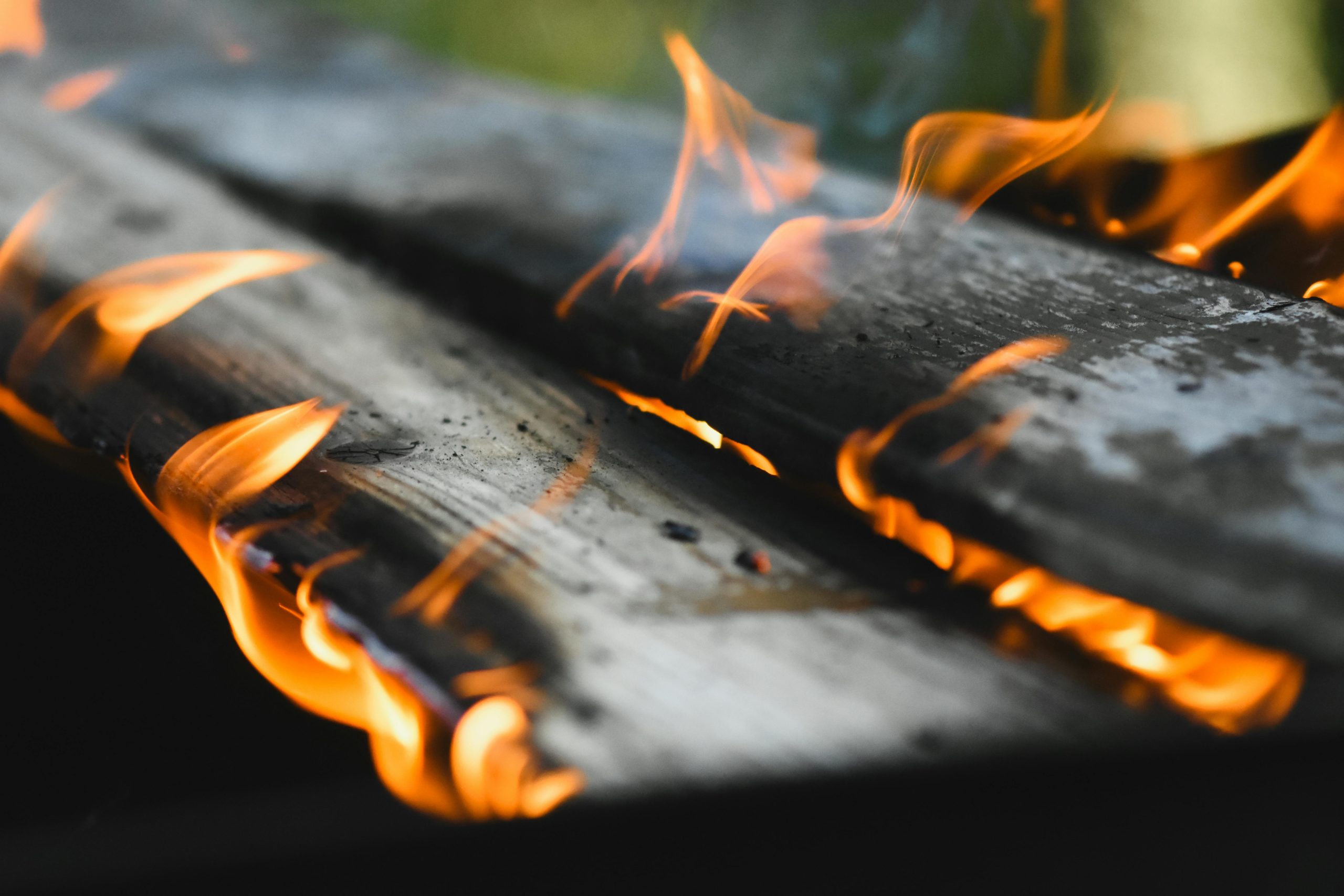
Planned burns
Planned burns, also known as prescribed burns, are an important tool used to reduce fuel loads in bushland and help lower bushfire risk.
Council may undertake planned burns in consultation with the Tasmania Fire Service and relevant specialists when weather and environmental conditions are suitable.
Planned burns are carefully planned and managed to:
- Reduce accumulated vegetation and fuel loads
- Lower the intensity of potential bushfires
- Help protect nearby communities and infrastructure
- Maintain access and operational safety in bushland areas
Burns are conducted under controlled conditions and are monitored to minimise risks and impacts where possible.
Notification of planned burns
Council aims to notify nearby residents and affected communities before planned burns take place.
Notifications may include information about:
- Burn locations and timing
- Smoke impacts and safety advice
- Temporary closures or restricted access areas
- Changes due to weather or operational conditions
Smoke from planned burns may still affect nearby areas depending on weather conditions.
Vegetation management
In addition to planned burns, Council undertakes a range of vegetation management activities to help reduce bushfire risk across Council-managed land.
These activities may include:
- Mechanical slashing and mowing
- Hand clearing and pruning
- Removal of excess vegetation and debris
- Managing invasive plant species that increase fire risk
- Maintaining fire access tracks where appropriate
- Hazard reduction works around Council facilities and infrastructure
Vegetation management programs are prioritised based on risk, environmental considerations and available resources.
Balancing bushfire management and environmental values
Council aims to balance bushfire risk reduction with the protection of environmental and natural values.
Bushland areas often contain important native vegetation, wildlife habitat and biodiversity values. Bushfire mitigation works are planned to consider:
- Environmental impacts
- Native vegetation protection
- Cultural and heritage values
- Erosion and land stability
- Community amenity and recreational use
Community liaison
Council works with residents in bushfire-prone areas to improve awareness of local bushfire risks and preparedness.
This may include:
- Sharing information about planned mitigation works
- Providing advice about vegetation management responsibilities
- Supporting bushfire preparedness and awareness initiatives
- Working with community groups and residents in high-risk areas
Council encourages residents to understand their own bushfire risk and prepare their properties and emergency plans.
Bushfire preparedness
While Council manages bushfire risk on Council land, property owners are responsible for managing bushfire risk on private land.
Residents are encouraged to:
- Maintain vegetation around homes and buildings
- Prepare a bushfire survival or emergency plan
- Stay informed during bushfire season
- Follow advice from emergency services
For emergency information and bushfire preparedness advice, visit the Tasmania Fire Service website.
Unsure what something on this page means? Check out Our Glossary.